About Us
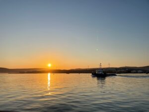
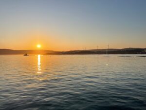
Subsea Surveys is South Africa’s trusted name in high-precision underwater survey solutions. We specialize in delivering accurate, reliable data for a wide range of marine and freshwater applications. From shallow waters to expansive coastlines, we are committed to helping you explore the unseen depths with confidence and clarity.
Why Choose Subsea Surveys?
At SubseaSurveys, we combine technical expertise with cutting-edge technology to deliver exceptional results for construction, environmental research, navigation, and more.
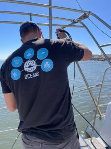
Our professional team includes experienced geophysicists, hydrographic surveyors, qualified geologists, and skilled project managers, supported by technical specialists both offshore and onshore to guarantee accurate and reliable survey outcomes.
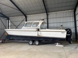
With experience in the diamond mining industry and survey vessels specially modified and equipped to collect high-quality data, we provide our clients with the precise information they need to make informed decisions.
Where are we Located?
SubseaSurveys operates across diverse environments, including marine offshore and nearshore settings, as well as dams, lakes, and inland areas. Our strategic locations in Pretoria and the Northern Cape, near the Namibian border, enable us to provide comprehensive services tailored to meet the unique challenges of these regions.
Our Expertise
At Subsea Surveys, we offer comprehensive underwater survey services tailored to meet the diverse needs of our clients. Our expertise includes:
- Shallow Water Bathymetry – Creating detailed maps of underwater terrain.
- Pipeline Surveys – Ensuring the integrity and safety of underwater pipelines.
- Pond, River, and Estuary Surveys – Providing insights into diverse water systems.
- Harbor and Lake Surveys – Supporting navigation and maintenance.
- Coastal Surveys – Offering precise assessments of coastal zones.
State-of-the-art Equipment
To ensure exceptional accuracy and efficiency, we rely on industry-leading equipment:
- Norbit iWBMS Turnkey Multibeam Sonar System: Delivers high-resolution bathymetry with wide swath coverage and unparalleled precision.
- Innomar Sub-Bottom Profiler: Penetrates sediment layers for detailed geological insights.
- DeepEye Side Scan Sonar: An incredible piece of technology that sets a new standard in underwater surveying.
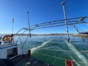
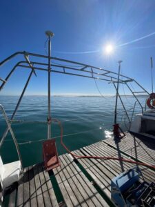
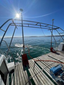
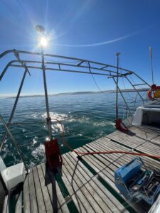
- Survey Vessel (Atlantic Vision): A robust platform equipped for all survey conditions.
- Pure Sine Wave Generator and UPS: Guaranteeing consistent power for uninterrupted operations.
- Display Screens: Providing real-time visuals for efficient decision-making.
Data Processing
We offer both sub bottom profiling and multi beam data processing. The processing is done by a qualified team of geophysicists and hydrographic surveyors. We work hard to ensure the data is returned to the client in the shortest time period possible.
Let's Dive In
Explore the possibilities with Subsea Surveys. Contact Us today to discuss your project needs, and let’s chart the depths together.
Site designed and developed by Elevate WebDev and hosted by LinuxWeb