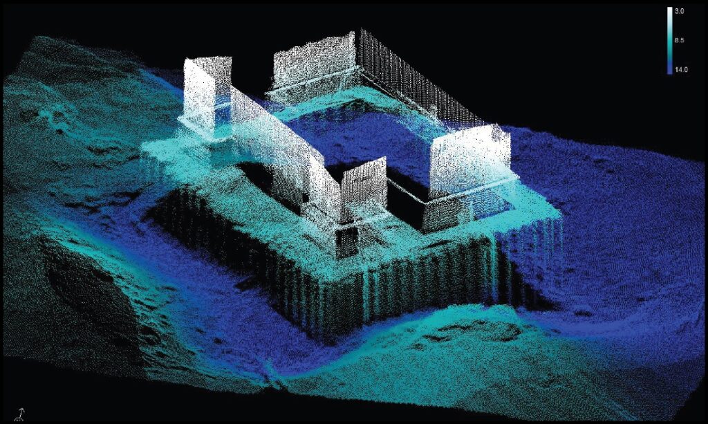
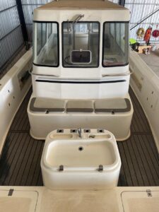
At Subsea Surveys, we take pride in using the Norbit iWBMS Turnkey Multibeam Sonar System, a game-changer in underwater surveying. This compact, high-resolution sonar system is renowned for its advanced features, including an impressive depth range of up to 275 meters and a swath coverage of up to 210 degrees, allowing us to map large areas with exceptional detail. Its integrated GNSS/Inertial Navigation System, powered by the globally leading Applanix POS MV Wavemaster II, ensures pinpoint accuracy even in challenging environments.
With a groundbreaking curved-array design and cutting-edge signal processing technology, the Norbit system delivers unmatched precision, making it ideal for shallow water bathymetry, pipeline inspections, and coastal surveys. By leveraging this innovative tool, we provide clients with fast, reliable data collection and the highest quality results—helping you explore and understand the underwater world like never before.
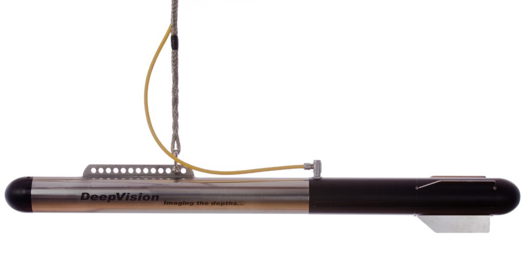
DeepEye Side Scan Sonar
The DeepEye Side Scan Sonar is an incredible piece of technology that sets a new standard in underwater surveying.
Despite its compact, portable design, it delivers crystal-clear side scan sonar images thanks to advanced digital chirp technology powered by DeepVision DSSP hardware.
Its lightweight tow cables, available in lengths from 20 to 200 meters, make deployment simple and efficient, while its large swath width ensures comprehensive area coverage.
With high resolution, low power consumption (it runs on just a single USB port!), and unparalleled ease of use, the DeepEye is a powerhouse in a small package.
It’s remarkable that Subsea Surveys utilizes this cutting-edge technology, as it allows them to conduct precise, efficient, and eco-friendly underwater explorations, setting them apart as leaders in their field.
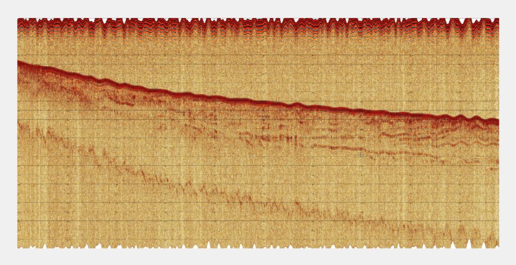
Innomar Sub-Bottom Profiler
Sub-Bottom Data
Performance:
• Water depth range: 0.5 ‒ 400 m
• Seabed penetration: up to 40 m
• Range resolution: up to 5 cm
• Depth accuracy: 2.5 cm + 0.06% water depth
• Motion compensation: Heave
Data Processing
We offer both sub bottom profiling and multi beam data processing.
The processing is done by a qualified team of geophysicists and hydrographic surveyors.
We work hard to ensure the data is returned to the client in the shortest time period possible.